Water Management
Information Links
Hourly Data Collection Platform (DCP) Plots
Data Collection Platform ID's
Enter the DCP ID:
To find a DCP ID, click here.
NOTE: Data displayed may contain bad points (spikes) that could
be related to conditions
such as ice or bad gage readings.
Missouri River Main Stem and Major Tributary DCP Plots
| Upper Missouri River | Lower Missouri River |
|---|---|
| Three Forks | Yankton |
| Toston | |
| Virgelle | |
| Robinson Bridge | |
| Wolf Point | |
| Culbertson | |
| Sidney | |
| Hazen | |
| Washburn | |
| Bismarck | |
| Mandan | |
| Breien | |
| Little Eagle | |
| Whitehorse | |
| Howes | |
| Fort Pierre | |
| Pierre | |
| Oacoma | |
| Verdel | |
Missouri River Basin DCP Station Plots Used in Forecast
| Gavins Point to Omaha | Omaha to Rulo |
Rulo
to Waverly
|
Waverly
to Mouth
|
|---|---|---|---|
| Yankton | Kearney | ||
| Huron | |||
| Scotland | |||
| Vermillion | |||
| Rock Valley | |||
| North Cliff | |||
| Akron | |||
| Sioux City | |||
| Alton | |||
| James | |||
| Decatur | |||
| Linn Grove | |||
| Correctionville | |||
| Mapleton | |||
| M&H Ditch | |||
| Turin | |||
| Pisgah | |||
| Logan | |||
| Omaha |
Missouri River DCP Stations for Endangered Species Monitoring
| Below Fort Peck | Below Garrison |
Below
Fort Randall
|
Below
Gavins Point
|
|---|---|---|---|
| Wolf Point | Hazen | ||
| Culbertson | |||
| Sidney | |||
Upper Missouri River Basin Monitoring Network
|
|
|
|
|
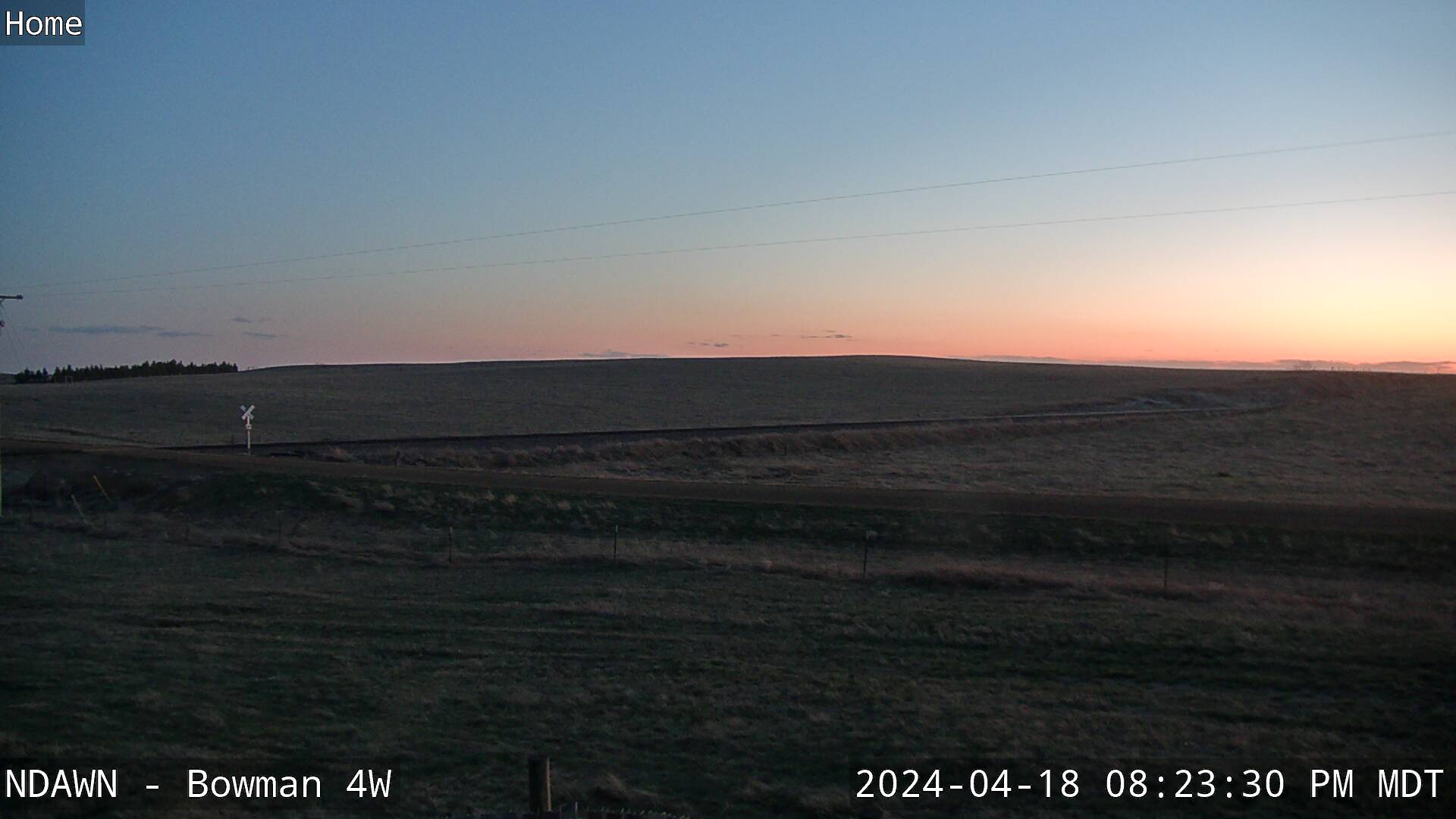
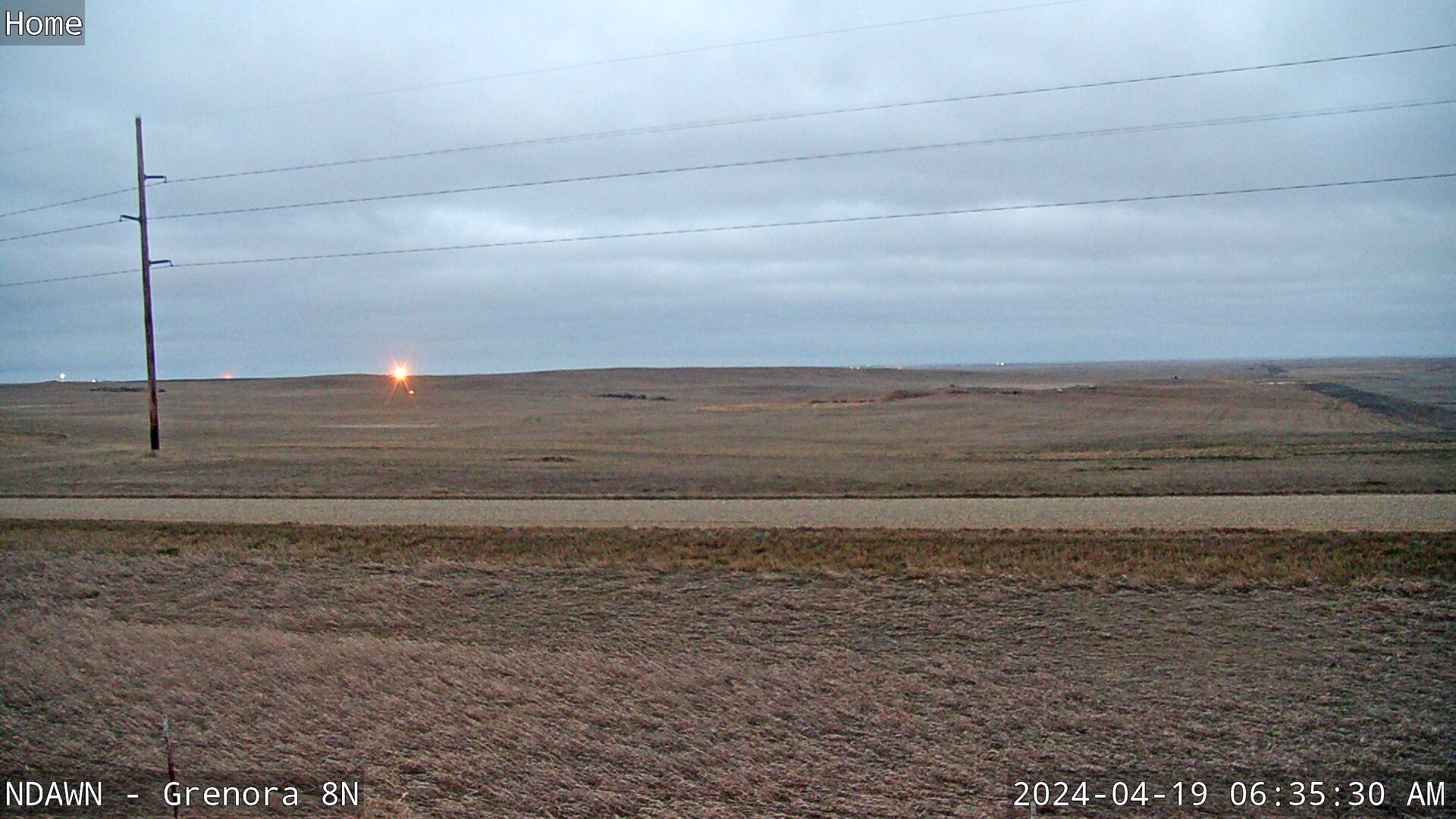
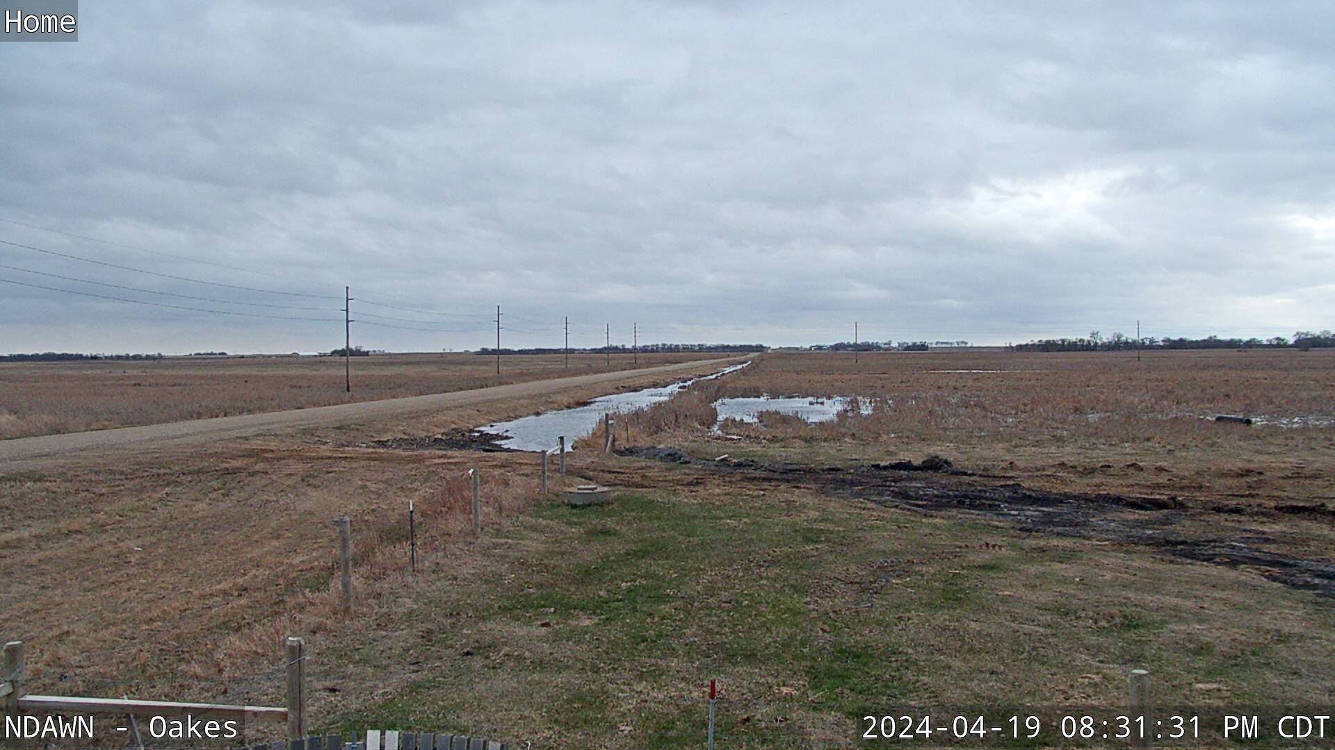
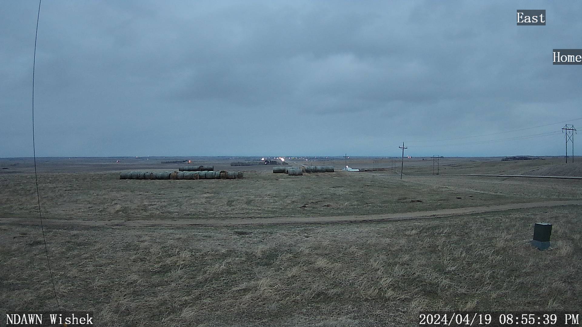
Upper Missouri River Basin Monitoring Network Station Photos
| Montana | North Dakota | South Dakota | Wyoming | Nebraska | ||||||||||||||||||||||||||||||||||||||||||||||||||
|---|---|---|---|---|---|---|---|---|---|---|---|---|---|---|---|---|---|---|---|---|---|---|---|---|---|---|---|---|---|---|---|---|---|---|---|---|---|---|---|---|---|---|---|---|---|---|---|---|---|---|---|---|---|---|
|
|
|
|
|
|

